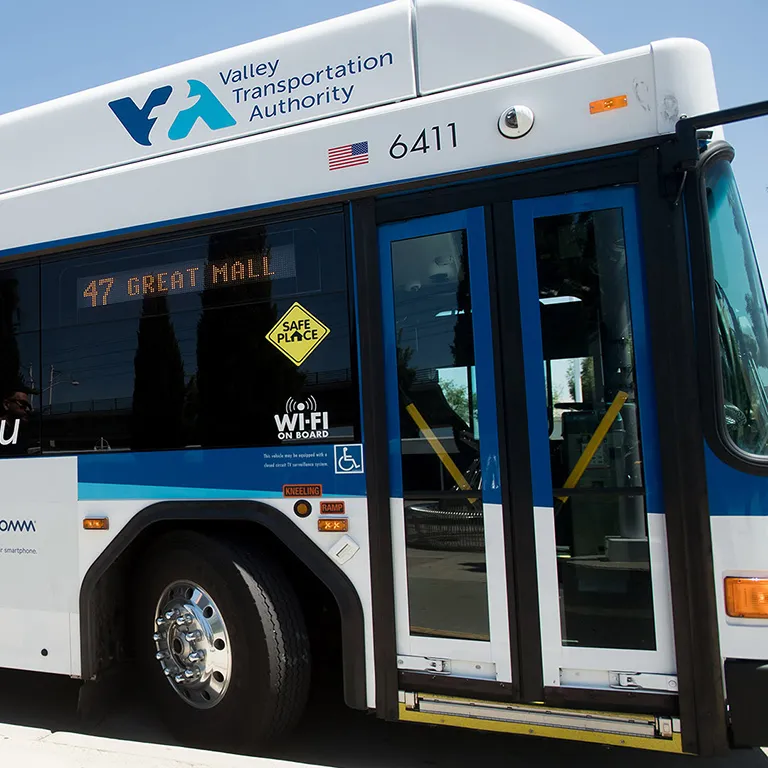
Clipper® START Makes Bay Area Transit More Affordable
Fifty percent discount on Bay Area transit trips for riders with low incomes.
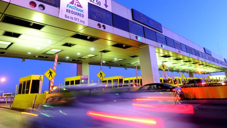
Bridge Toll Overview
Bridge |
Cars |
|---|---|
Antioch Bridge |
$7.00 |
Benicia-Martinez Bridge |
$7.00 |
Carquinez Bridge |
$7.00 |
Dumbarton Bridge |
$7.00 |
Golden Gate Bridge |
$8.75 |
Richmond-San Rafael Bridge |
$7.00 |
San Mateo-Hayward Bridge |
$7.00 |
San Francisco-Oakland Bay Bridge |
$7.00 |
MTC is seeking PRO Housing grant funding to support regional goals to produce and preserve affordable housing.
Meetings
Bay Area Metro Center
375 Beale Street
San Francisco, CA 94105
Bay Area Metro Center
375 Beale Street
San Francisco, CA 94105
Bay Area Metro Center
375 Beale Street
San Francisco, CA 94105
Bay Area Metro Center
375 Beale Street
San Francisco, CA 94105
Bay Area Metro Center
375 Beale Street
San Francisco, CA 94105
Traveler Information
Current traffic conditions, incidents, and road closures, construction, and more in interactive maps.
Make a difference in the communities you care about.
MTC’s research, planning and coordination across the Bay Area is making history at the local and state levels. Be a part of an organization that is working to improve the Bay Area for everyone.
Join us and map out the future together — both the Bay Area’s future and your own.

Is your company involved in planning, design, analysis, engineering, contracting, communications, surveys, information technology or other services that can help MTC perform its work?
MTC has many contract and vendor opportunities. We encourage local businesses — especially Disadvantaged and Small Businesses — to apply.
MTC is focused on building a better Bay Area transportation system that works for everyone, while supporting a resilient economy and environment.
We’re a part of every trip you take.